Vung Ro Bay: Land-Based Scenery and Itinerary Tips
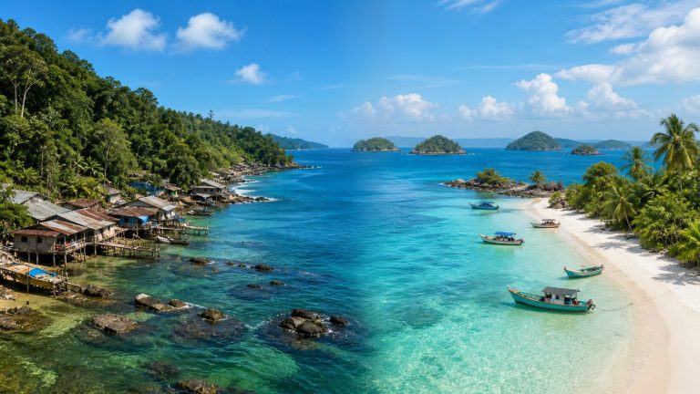
Vung Ro has a different beauty compared to open beaches: the bay lies nestled between mountain ranges, with the coastline winding around residential areas and piers. You do not necessarily need to take a boat to appreciate that scenery. A road trip, selecting a few permitted stopping points and taking time to observe, is also a suitable approach.
Understand the Destination Before Setting Out
Vung Ro Bay is located in the southern part of the Phu Yen tourism region, near the Deo Ca mountain range. Phu Yen currently belongs to Dak Lak province following a merger; the name Phu Yen is still commonly used to identify the coastal region during travel journeys. When checking a map, look for “Vung Ro Bay” and identify a specific destination rather than just picking a random pin in the middle of the bay.
Vung Ro is a landscape area with local livelihood activities, boats, and a port; not the entire coastline is an open sightseeing area. Bay viewpoints, piers, and historical sites serve different purposes; it is necessary to check entrances, signs, and instructions at each location.
Observe the Coastline and Mountain Layers
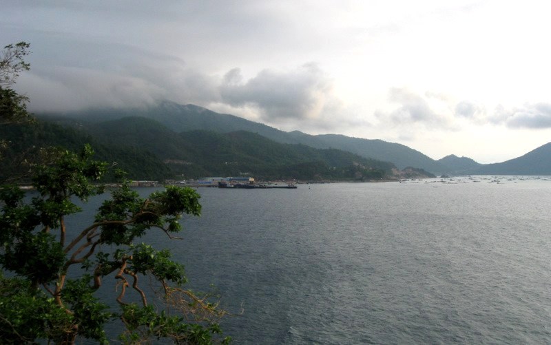
From a wide angle, what is easy to recognize is the mountain ranges surrounding the water surface. Try looking from the nearest coastline to the more distant mountain slopes: the variation in tones creates depth for the bay scenery. On days with low clouds, part of the mountain peaks may be obscured; do not assume that the bay is always as clear and blue as sunny photos suggest.
To photograph the landscape, you can let the coastline lead your eye into the frame, keep the camera level, and avoid excessive zooming. If the stopping point has a railing, shoot from the inside; do not climb over fences or step right to the edge of a slope just to remove an obstacle from the photo.
Choose Safe Stops Instead of Chasing Photo Angles
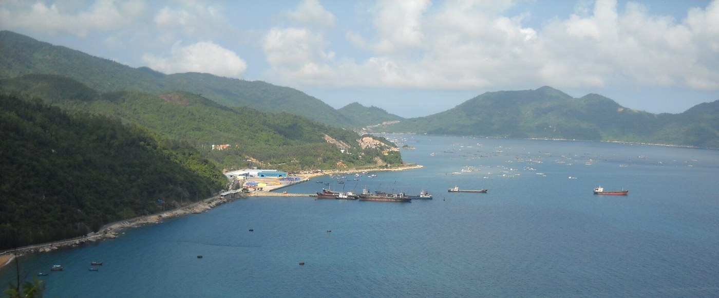
High-angle photos help visualize the terrain, but they are not parking coordinates. Before the trip, identify places where you can park legally and designated pedestrian sections. If a location is on a curve, a narrow shoulder, or near a restricted area, skip it even if the view is very scenic.
In the coastal area, do not walk onto piers, rafts, or step over anchor lines on your own. Those may be places where locals are working. When you want to take close-up photos of people or daily activities, you should ask for permission; a wide landscape photo usually does not require getting close to private areas.
Suggestions for Spending a Half-Day in Vung Ro
If you depart from the Tuy Hoa area, dedicate a half-day to the southern direction and leave time to return while it is still daylight. You can divide the trip into three parts: travel and identify stopping points, sightsee at one or two suitable locations, and then rest before the return journey. This is a suggestion for organizing time, not a route with verified daily traffic conditions.
Only add an adjacent spot when you have accounted for walking time, weather, and access hours. Do not cram a series of northern Phu Yen destinations into the same half-day and end up rushing your drive. For groups with elderly members or small children, fewer stops with resting places will be much more pleasant.
What Should You Prepare?
- Check rain and wind forecasts and traffic announcements before leaving. When visibility is poor, prioritize safe return over trying to sightsee along a mountain pass.
- Bring water, a hat, sun-protective clothing, and good-traction shoes. Gear should be compact to make getting in and out of vehicles and walking easier.
- Save offline maps, check fuel levels, and allow buffer time; do not assume straight-line distances equal driving times.
- Do not assume calm water means it is safe for swimming. This article does not introduce swimming or diving spots; boat docks, ports, and fish cages are not places to enter the water on your own.
- Pack out your trash, do not take rocks or marine life, and comply with all barriers and prohibition signs on-site.
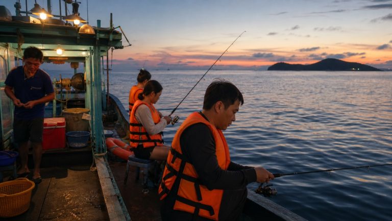
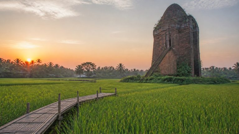
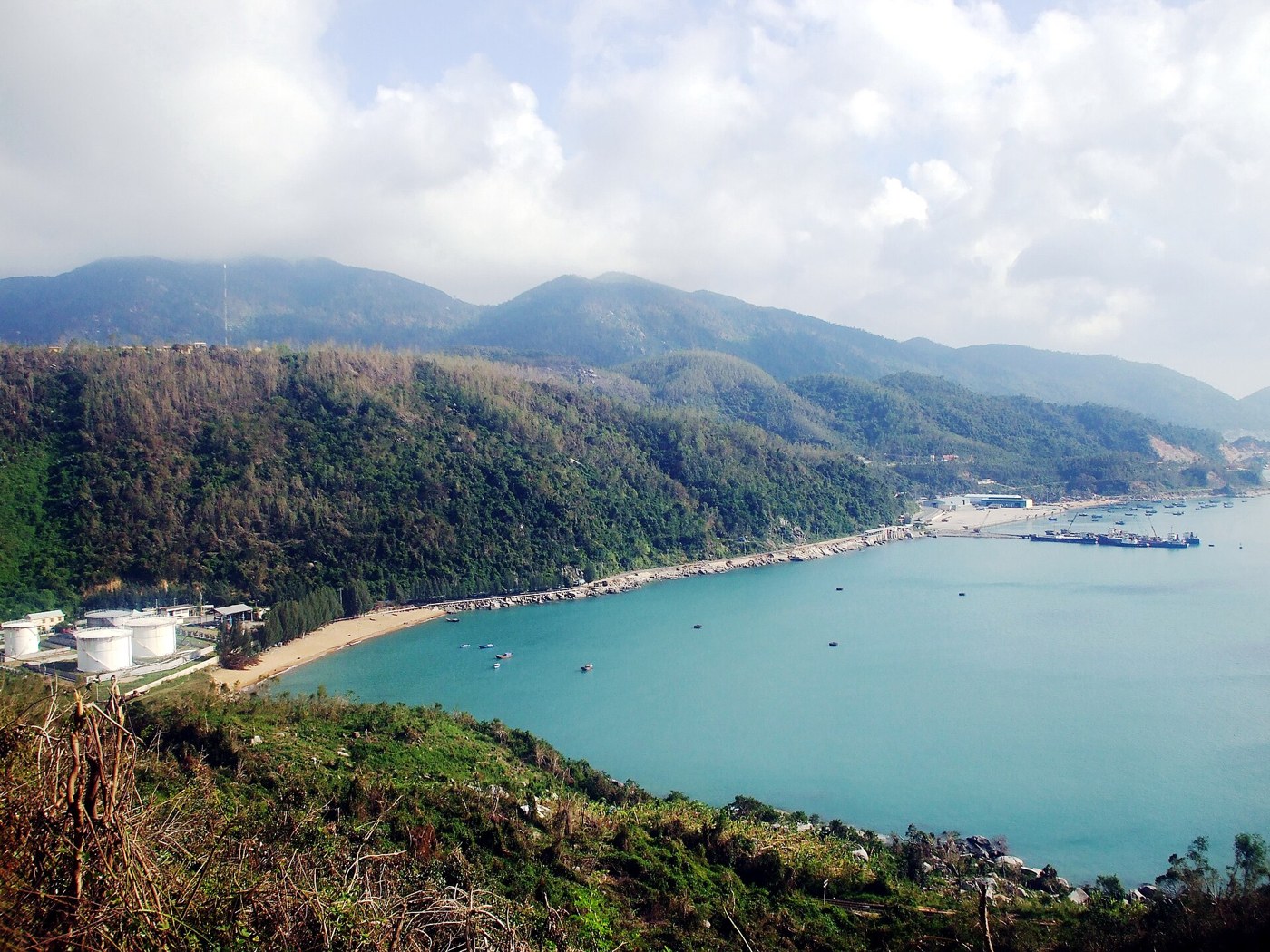
The three photos serve as illustrative documentation of the landscape, not as confirmation of the current status of the harbor, walkways, or water quality on the day you visit. Vung Ro is worth visiting when you want to witness the meeting of mountains and sea within a real living space; there is no need to turn your bay-viewing outing into a race across too many locations.