Bach Ma National Park: Choosing Forest Trails & Trekking Prep
Bach Ma is suited for a day dedicated to mountains and forests rather than a rushed itinerary packed with photo stops. Before your trip, the most important decision isn’t the number of places to tick off, but which route matches your group’s stamina, which paths are permitted, and when you need to turn back.
Understand the Trip: Mountain Forests, Not Urban Parks
Bach Ma National Park features steep mountain terrain, evergreen forests, and numerous streams. This area is linked with nature exploration trips starting from Hue. Hai Vong Dai (Sea-View Tower), the Five Lakes trail (Ngu Ho), and Do Quyen Waterfall are commonly mentioned locations when researching the park.
Do not assume a map pin represents the entire journey. The drive to the entrance, the transport inside, and the walking sections must be calculated separately. Before your travel day, ask management about currently open trails, permitted vehicles, required departure times, and guide requirements. This article does not confirm the current opening status of individual trails on the day of your visit.
Choosing Routes Based on Your Desired Experience
- Want panoramic views from above: Research the Hai Vong Dai area. This viewpoint sits on the mountain peak; visibility depends entirely on the weather. Inquire clearly about the remaining walking distance from the vehicle drop-off point before deciding if it suits elderly travelers or young children.
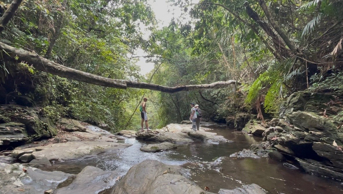
- Prefer streams and forest ambiance: Research the Five Lakes trail. Ask about trail conditions, water levels, and the recommended direction of travel for the day. Do not use photos of people standing on rocks as proof that every stream section is safe to cross.
- Want to see waterfalls: Research the Do Quyen route, but confirm which observation points are accessible and how much energy the return climb requires. Do not assume you must hike right down to the base of the waterfall to have a complete experience.
For first-timers, choose one primary goal and treat the second location as an optional addition if time permits, weather remains good, and the whole group still has energy. Do not turn all three names into mandatory stops in a single day.
A Flexible One-Day Itinerary Frame
Before leaving your accommodation: Check the forecast, park announcements, and return transport schedules. Save essential contact information to use when mobile signals are weak. If there are weather warnings or trail closures, reschedule your visit rather than seeking alternative paths to enter.
Upon arrival: Reconfirm your route with staff, agree on the endpoint and turnaround time. If traveling in a group, pace yourselves according to the slowest walker. Do not use duration estimates from mapping apps as a guarantee that everyone can complete the trek.
On the trail: Take short breaks to hydrate, observe, and take photos from stable footing. When someone feels tired, shoes slip, or the weather turns for the worse, cut the itinerary short. Conserving energy for the return journey is far more important than capturing one more frame.
Pack Lightly and Bring Only Essentials
- Footwear with good grip that is already broken in; avoid slippery sandals just because you plan to take photos by the stream.
- Drinking water and compact meals suited for the expected duration; bring bags to carry all your trash out of the forest.
- A lightweight raincoat, spare layer of clothing, and waterproof pouches for your phone and documents.
- A fully charged phone, a small flashlight, and group contact information; do not separate from the group to find a photo angle.
Choose a backpack of modest size that leaves both hands free while walking. If carrying a camera, pack it away before sections requiring footwork focus; never walk on rocks while looking at a screen.
Observe Streams, Do Not Gamble with Currents
Do not swim, cross streams, or venture close to waterfall edges simply because you saw photos of others doing so. Obey barriers and on-site instructions. When heavy rain occurs, water flows shift, or paths become slippery, stop approaching and follow the instructions of park staff; do not look for shortcuts.
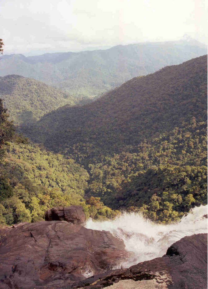
The three photos in this article are archival landscape references, not trail maps or confirmations of current safety conditions. Specifically, the downward forest view was captured in 2000, helping illustrate the terrain rather than depicting the current status of infrastructure, paths, or viewpoints today.
Leave a Light Footprint
Stay on authorized trails, do not break branches, pick plants, or remove specimens. Do not call out to, chase, or feed wildlife for photographs. Lower your voice and yield the path in narrow sections so others can also enjoy the forest atmosphere.
A memorable Bach Ma trip does not require visiting every single landmark. Choosing a route that matches your strength, observing nature carefully, and returning according to schedule is a much better goal than forcing yourself to complete a checklist when conditions are no longer favorable.