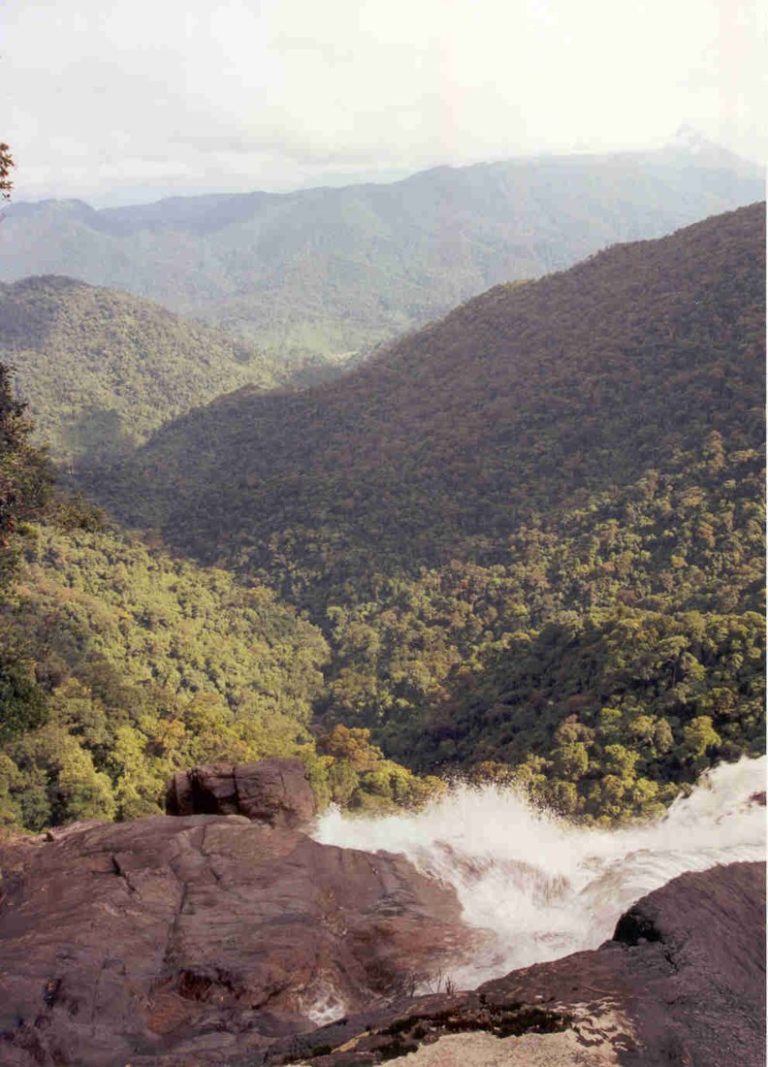
Ghenh Da Dia: Exploring Basalt Rocks & Coastal Trips
Ghenh Da Dia is fascinating for details that only become clear when you stop to observe: polygonal rock faces, columns standing side by side, and sloping rock layers close to the sea. If you want to visit a scenic spot during your Phu Yen journey, you can dedicate a morning or afternoon to this place, following a manageable itinerary instead of just rushing in for photos and leaving immediately.
Where is Ghenh Da Dia?
The scenic spot is also written as Ganh Da Dia, located in the present-day commune of Tuy An Dong, Dak Lak province, within the tourism region commonly known as Phu Yen. When searching on the map, enter the full name of the landmark to avoid confusion with other coastal rocky beaches. Previous documents may list the address as An Ninh Dong, Tuy An, Phu Yen.
This article focuses on how to observe the landscape and prepare for your visit, rather than acting as a ticket-buying guide. Opening hours, fees, and access areas to the reef should be checked with the management unit before your travel day; do not rely on outdated information to decide your schedule.
Observing rocks across three landscape layers
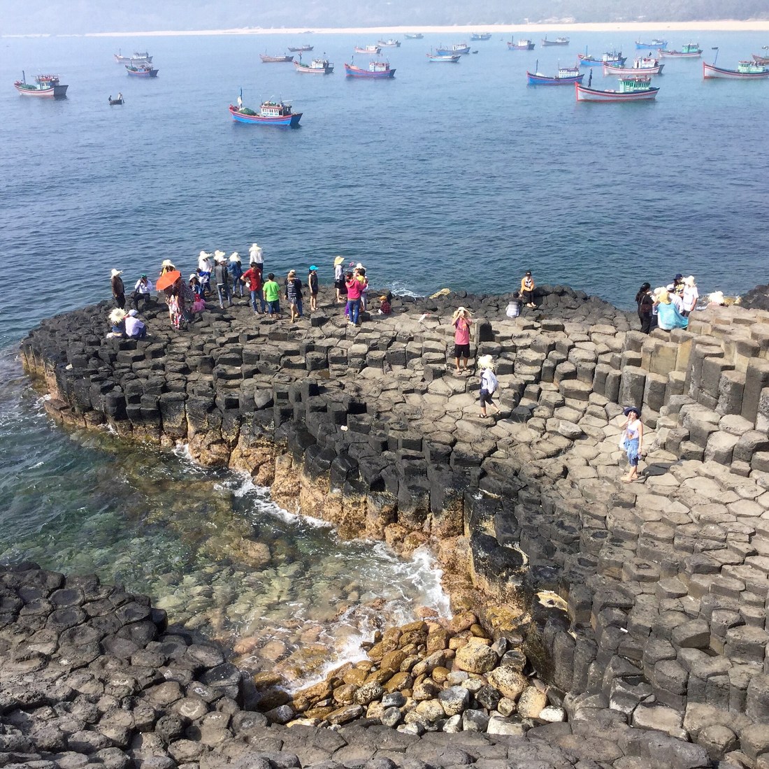
First, find a safe spot above to view the entire reef and coastline. From a wide angle, the rock blocks form multiple tiers rather than a flat surface. Observing the overall view also helps you choose pathways according to on-site instructions, without rushing down steep sections.
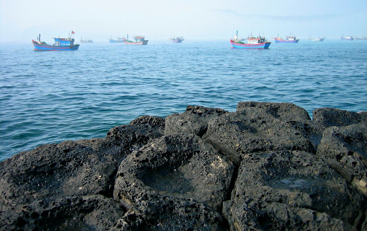
Next are the adjacent polygonal cross-sections. This is the characteristic structure of basalt columns, not slabs paved into roads by humans. When taking close-ups, you can keep part of the rock face and part of the sea in the frame to highlight differences in color and texture.
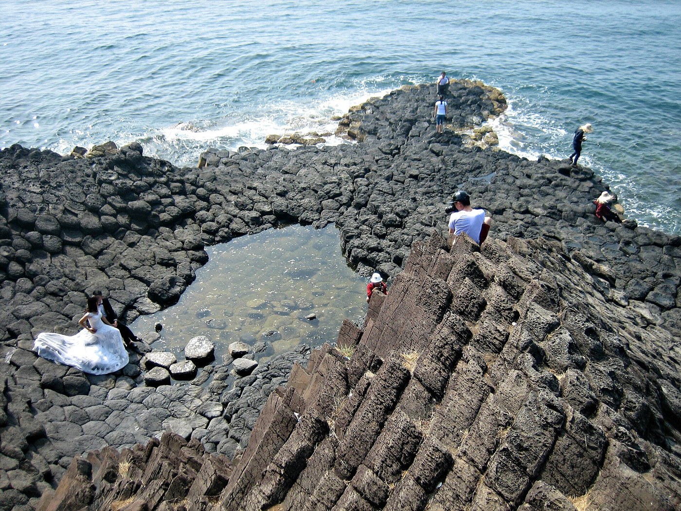
Finally, try observing the sloping rock faces and crevices between the columns. Each viewing angle offers a different sense of height and roughness. There is no need to venture out to the outermost tip: a firm footing can still yield clear photos of the rock structure. Do not break, carve names, write on surfaces, or take rocks home as souvenirs.
How long to spend, and when to go?
You can budget about one to two hours for arriving, walking, sightseeing, and resting; this is a suggested time allocation, not a mandatory duration. If traveling with young children or elderly people, reduce the amount of walking on the rocks and spend more time on viewpoints from easily accessible areas.
Prioritize days without severe weather warnings. Mornings are usually convenient for scheduling outdoor spots before the sun gets too strong, but entry times still depend on actual operating hours. Do not attempt to enter areas that are not yet open, nor wait for giant wave photos when conditions are unsafe.
Footwear and movement matter more than posing
- Choose grip-soled, well-fitting shoes; avoid high heels or slip-on sandals when walking on uneven surfaces.
- Only walk in permitted areas and keep a distance from the water’s edge. Dark or mossy rocks can be slippery even on sunny days.
- Stand firmly before raising your camera to shoot. Do not walk backward while looking at the screen, and do not jump from one column to another.
- Bring drinking water, a hat, and a trash bag. Pack your belongings compactly so both hands are free to help maintain balance when needed.
- If the descent path is closed or waves splash onto the rocks, switch to viewing from a distance as instructed; do not look for detour routes to go down.
How to combine destinations without driving all day
If starting from the Tuy Hoa area, dedicate half a day to one direction instead of packing multiple spots in both the north and south. After mapping the route to the reef, only add one nearby location along the route if you have spare time, energy, and favorable weather. Do not mistake straight-line distances on a map for actual driving times.
The three photos in the article are archival images illustrating the terrain and rock structure, and do not confirm current visiting paths. The presence of people standing in a particular spot in a photo does not imply that position is safe or currently accessible. A memorable trip should conclude with a deeper understanding of the landscape and preserving the natural beauty of the reef, not with a risky photo angle.